Cave Rock Hike

Here's an easy hike to Cave Rock that is only about 1/2 mile in length. The
trailhead is in the Cave Rock Estates (3 mi. north of Zephyr Cove and just south
of the Cave Rock tunnel). The well-maintained trail ends at the base of the
rock, about 20 feet below the very top. Anyone of average ability can scramble
up the narrow trail to the very top, where there is room for relaxing, enjoying
the view, or even a picnic. If you plan on climbing to the very top, wear sturdy
hiking boots to protect your feet.
Click on any thumbnail picture for a larger image
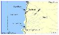 |
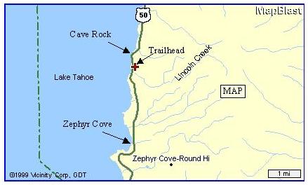
Here's a map showing the location of the trailhead and Zephyr Cove. You will find Cave Rock Drive just 3 miles north of Zephyr Cove (along Highway 50). Turn right onto Cave Rock Drive and proceed to
the dirt trailhead parking area 0.2 miles up the road. | |
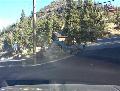 |
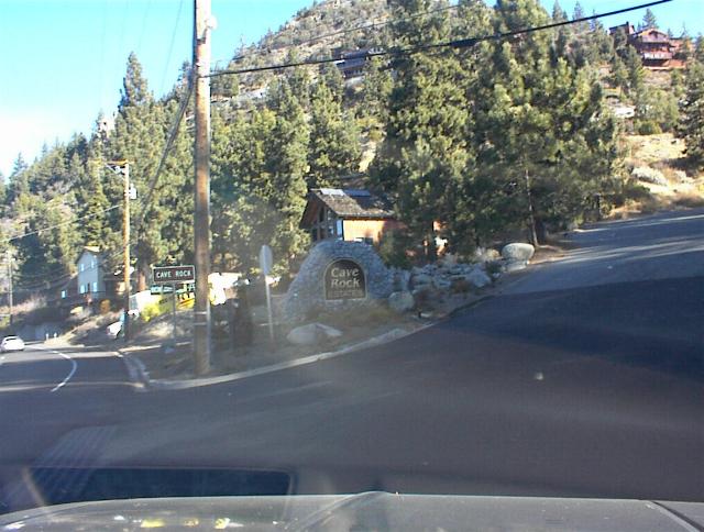
This is the turnoff from Highway 50 onto Cave Rock Drive (left), and the dirt trailhead parking area (right). When parking here, be sure not to block the trail entrance or the fire hydrant.
|
 |
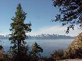 |
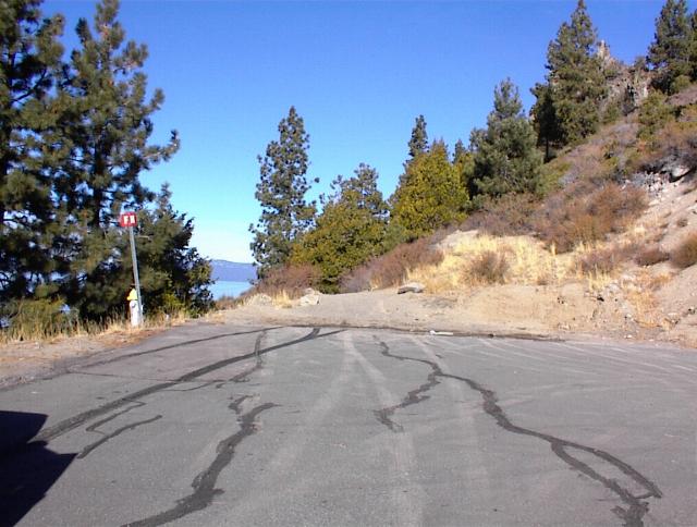
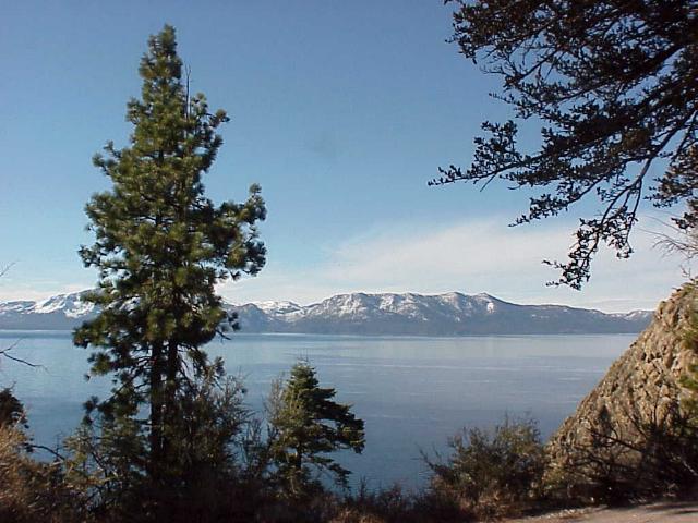
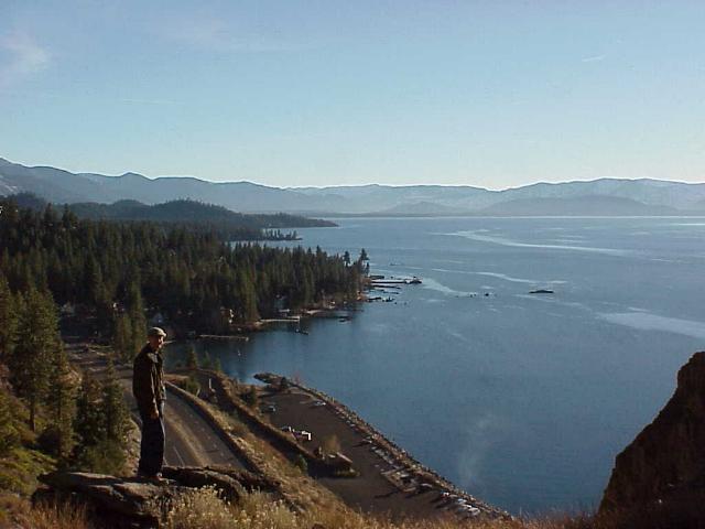
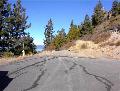
Here are some of the scenes you will see along the short and easy trail to the base of Cave Rock. On the left is the view out over the lake, and on the right is the view of Cave Rock from the trail.
|
 |
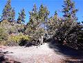 |
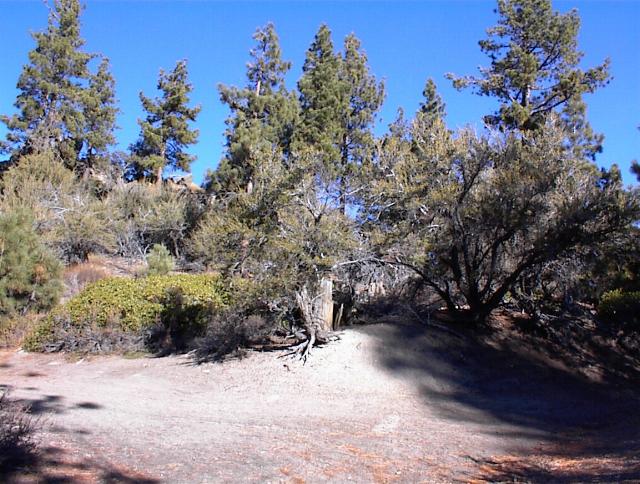
You will arrive at a trail junction (left). Take the left fork to get to Cave Rock. The right fork (partially hidden by shadow) leads to some forest trails that make for fine additional hiking.
| |
|
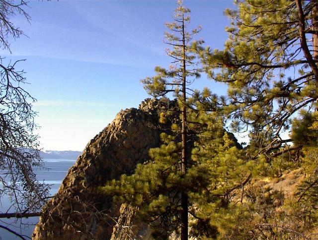
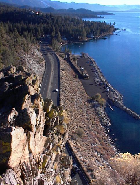
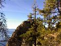
This picture of the top of Cave Rock was taken from another hill above and behind it (accessible by taking the right fork mentioned above), which also shows the view toward the west.
|
 |
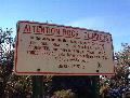 |
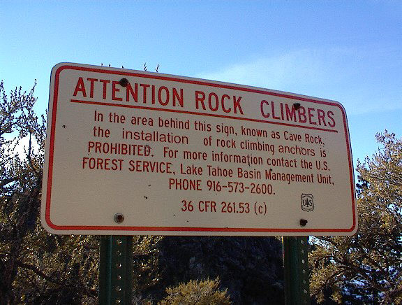
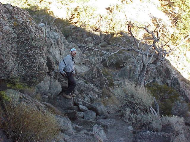
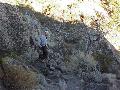
Just before you get to the narrow trail that leads to the very top, you will encounter a sign advising rock climbers of the local rules (left). This is for real rock climbers. The picture on
the right shows the kind of stuff required to scramble up the narrow trail to the very top of Cave Rock. The only equipment required for this part of the trip is a good pair of boots. |
 |
 |
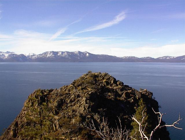
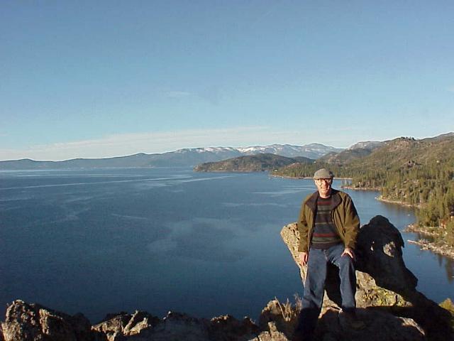
On the left is a view toward the south, from the top of Cave Rock, and on the right is a view toward the north.
|
 |
 |
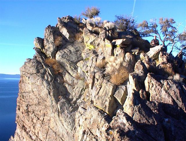
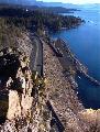
On the left is a view from the south, back at the rock being climbed. At the top, you can peer down over the edge (if you are very intrepid) for a thrilling view down toward the highway and the Cave
Rock boat ramp (right). |
 |
Zephyr Cove, South Lake Tahoe / Maria & Bob Tarn / 818-370-9635 /
Maria@TahoeTarns.com
Douglas County Nevada Vacation Home Rental Permit No. DP18-0317 Requirements
Visit the official web site of our dear departed friend and American hero, Chuck Yeager!
This page updated 01/27/24